Galileo Offline Maps review – Ozi Explorer’s analogue for IOS
25.05.2016For many years soviet military maps have been using as a typical solution for offroad navigation. Despite the fact that they are old, the accuracy of terrain on these maps is still very high comparing to other vector maps.
Classical application to work with military maps – is Ozy Eplorer. I compared it with other navigation systems in one of my previous articles. But time is passes and new devices appears. Waterproof notebook with Ozi Explorer became not so convenient and accessible. And more and more people want to use their existing mobile phones and tablets for navigation.
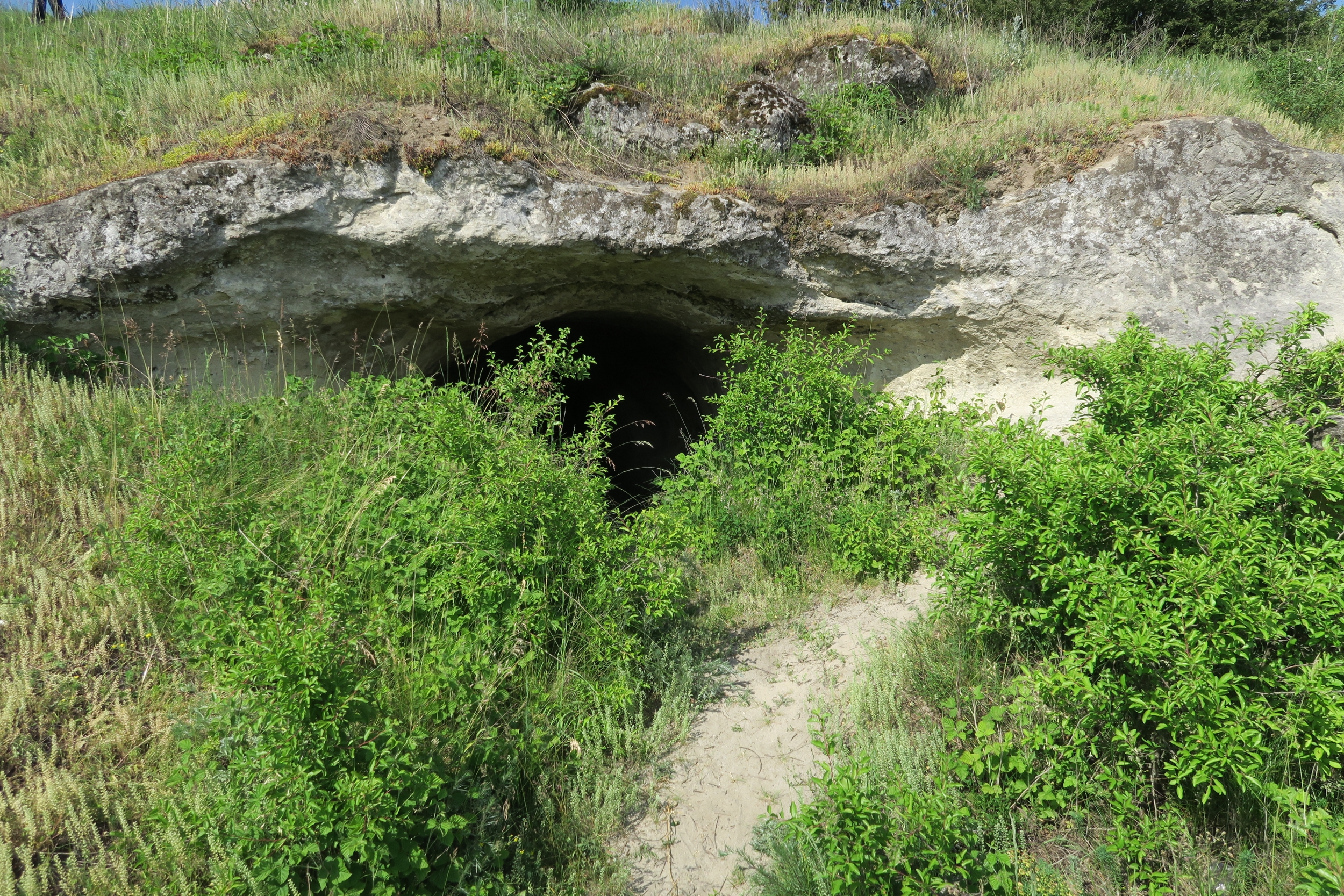
In this article I want to tell you about an application, which can be used instead of Ozi Explorer. Of course, it’s not a good idea to use your iPhone for offroad competitions. But for fishing, traveling to forests of small expeditions it’s OK. I can say that this application was the only one during my Carpathian Cordon 2015 offroad expedition and left only positive emotions.
So, I want to describe a navigation software “Galileo Offline Maps”. For iOS devices it can be downloaded from AppStore. There are two versions – free and paid. Free version allows you to download and use only vector maps. But you can’t use custom maps (including military maps), can’t work with waypoints and tracks. In this case you don’t have any other options. Only to pay 4 USD to get all featurs. But it’s not so high price.
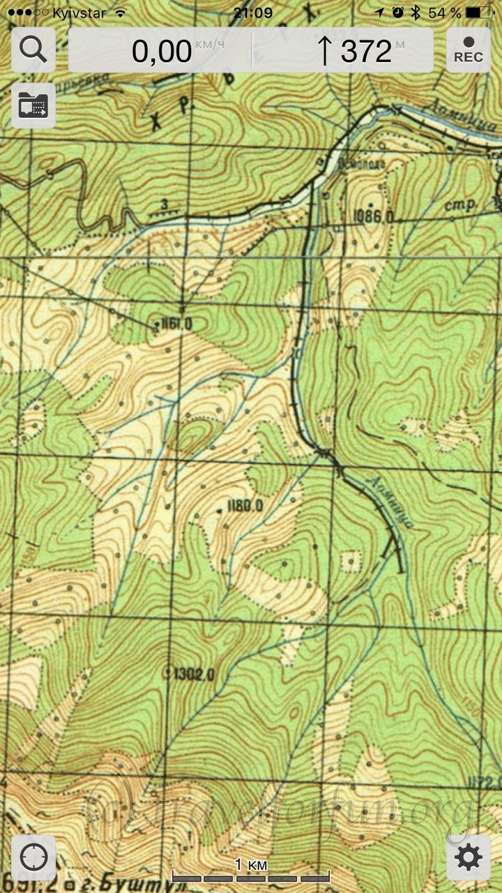 What we need first is military maps. Galileo can’t use maps from Ozi Explorer directly. They must be prepared in .sqlitedb format with SAS Planet or downloaded from the Internet. There are many web sites with already made maps of different regions.
Then you should use iTunes to upload the maps into Galileo’s memory. After that you can choose the map from the application’s menu.
Next difference from Ozi Explorer is that Galileo can’t switch from one map to another when you reach the map’s border. In this case you should switch the map manually. In fact, it’s not very big issue because usually maps covers large areas.
Galileo Pro can work with waypoints. You can add 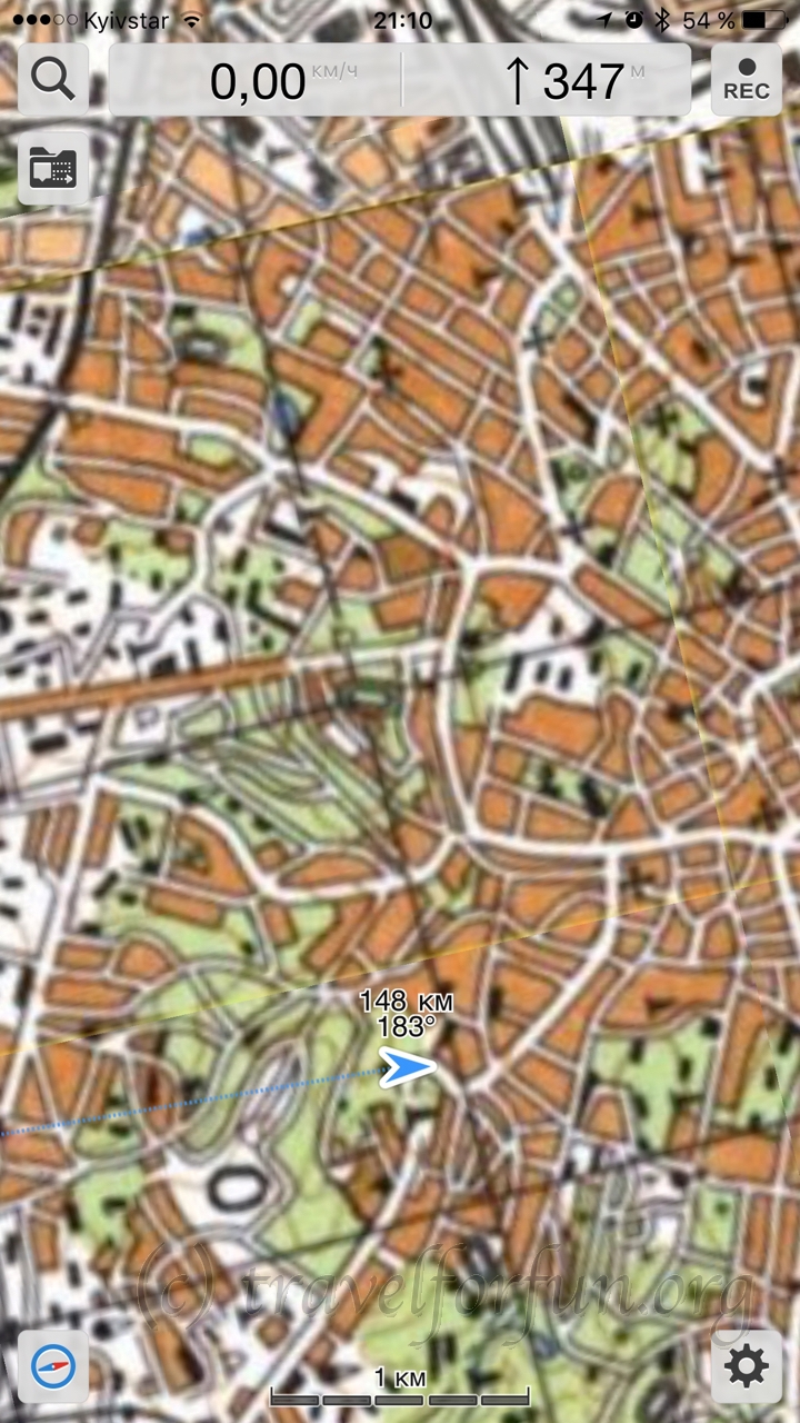 them manually or import files in KML (Google Earth) or GPS (Garmin) formats. But to do this, you can’t just upload a file via iTunes. You should either send it via e-mail or use Dropbox.
After selecting a waypoint, you can tell you navigator to show the direction. Tapping to a navigation sign in the lower left corner of the screen you can activate map rotation so your waypoint will be always on the top of the screen. Above the arrow, which shows your position, you can find two numbers with the distance to the waypoint and the azimuth.
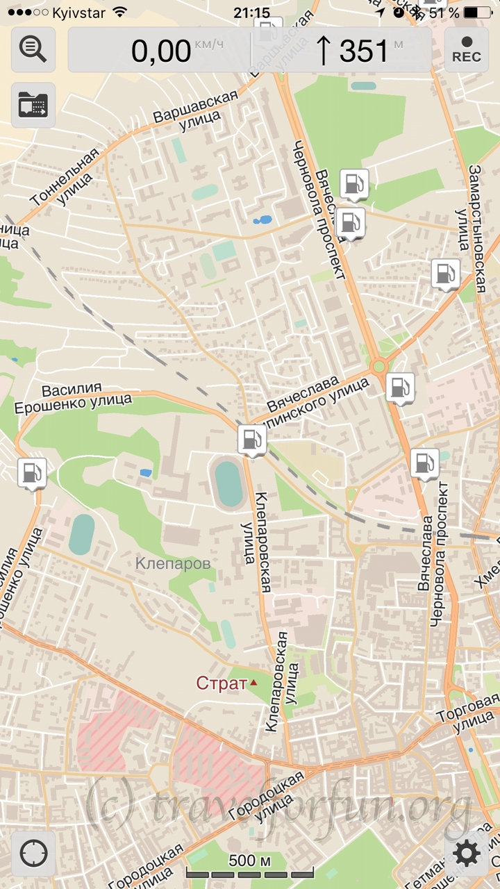 The main feature of Galileo is free vector maps of all the world. These maps are very accurate and include points of interests database. You can download them to use offline.
During your trip you can switch from one map to another according to your needs.
Besides the vector maps even in the free version you can select some online maps services like OpenStreetMap or OpenCycleMap. By the way, OpenCycleMap is a good substitution for old military maps because it also includes lines of height. It’s vector map, so, it’s not so accurate. But for most cases it will be enough. Also you can’t download selected areas to use these maps offline. But they are automatically cached. You can just scroll and view needed areas and they will be saved.
What we have in the end:
Advantages:
- Free offline vector maps
- Ability to work with military maps and any other custom maps
- Ability to work with waypoints and tracks
- Several map sources
Disadvantages:
- Military maps must be in a special .sqlitedb format
- Waypoints can be imported only via the Internet
- All these features are only for iOS version. Android version can only work with vector maps and nothing more.
Therefore, I wouldn’t recommend to go to any offroad competition only with iPad and Galileo because I don’t think that you’ll find the Internet somewhere in a forest. But for daily usage or small trips it’s a good choice because you don’t need additional equipment.